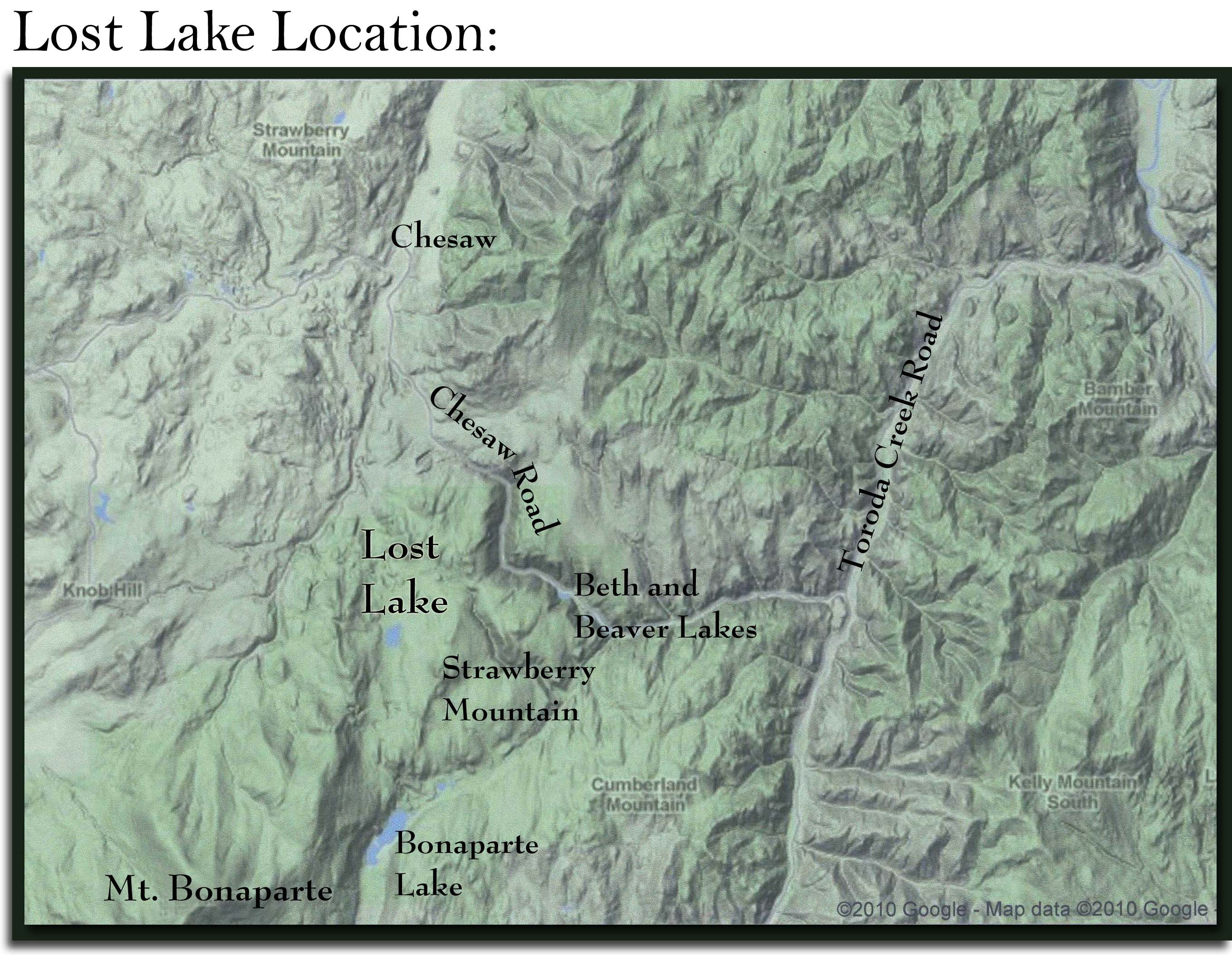
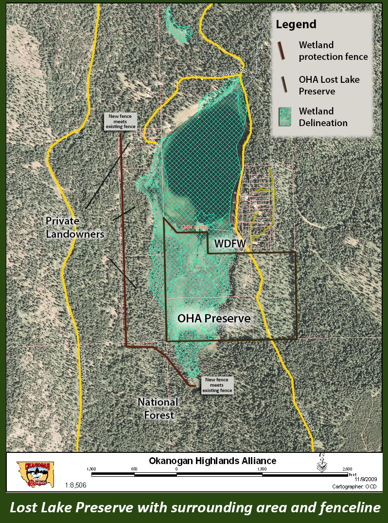
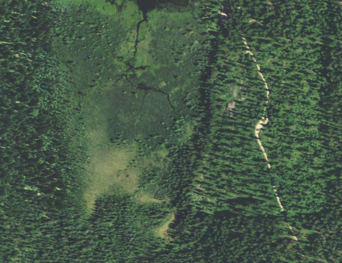
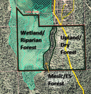
Maps

Click to enlarge the maps and aerial images of the preserve below!

Where Lost Lake is located in the larger area
The approximate location of the fence OHA installed to protect the wetland, along with the Preserve boundaries, and other property ownership
Aerial of the Preserve
Google Earth aerial image
The Preserve by ecosystem type
The Preserve acreage by ecosystem type, in relation to the hiking trails in blue
Go Back